CompassCom delivers real-time location for real-life impact situational awareness for law enforcement, fire, EMS, and emergency management. Our Esri® -based platform unifies GPS, encrypted radio location, and operational data to help agencies respond faster, protect personnel, and coordinate across jurisdictions—whether in the field, at the station, or during major incidents.
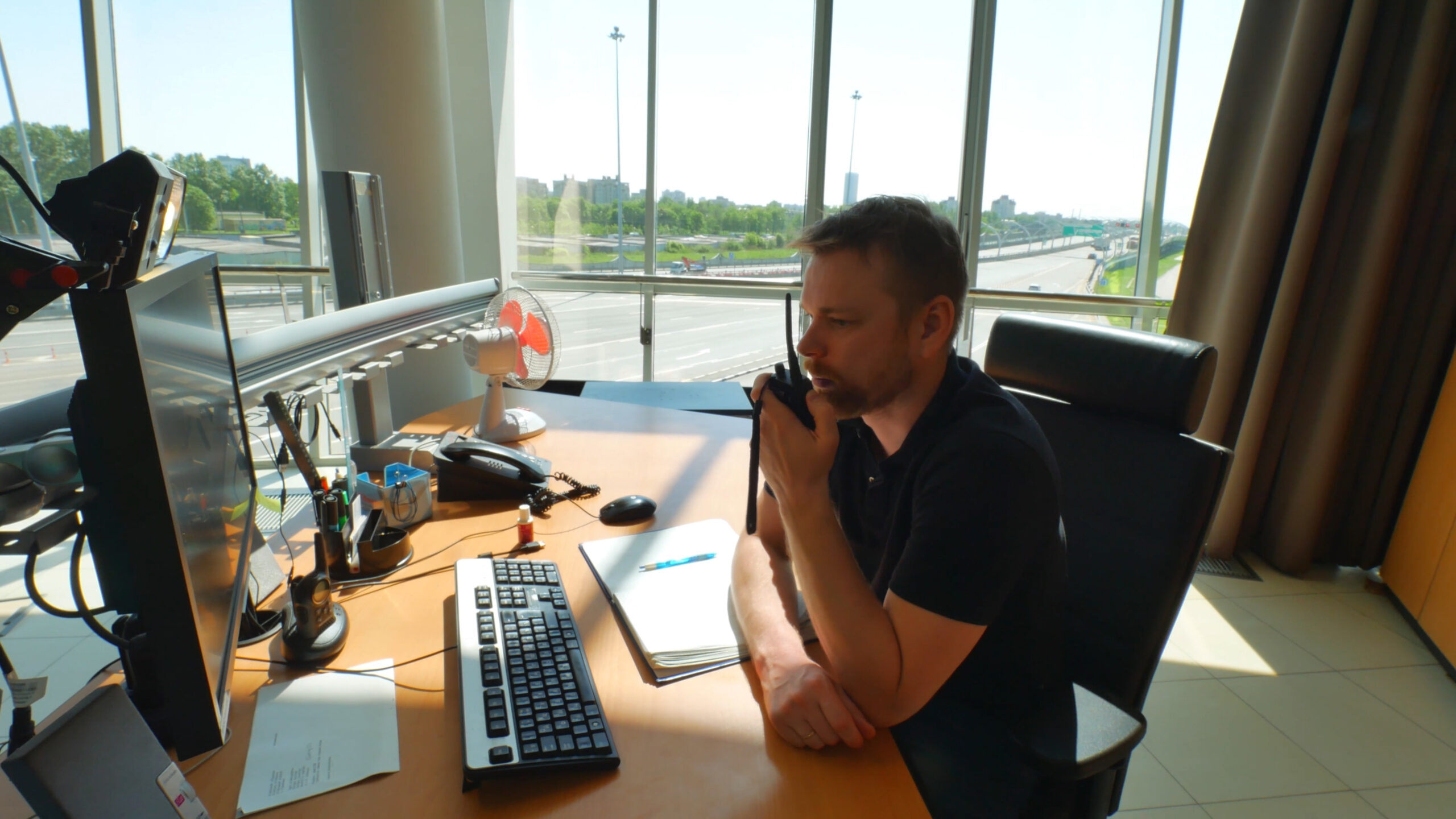
Essential capabilities for efficient, safe, and accountable operations:
Unified AVL for Radios, Vehicles, and Field Teams: supports GPS modems, LMR radios, and mobile devices to deliver a complete situational view of units, crews, and command assets.
Live Situational Awareness: view real-time location for real-life impact locations of responders and resources on an Esri-based map—available both online and in disconnected environments.
Encrypted Motorola Radio Integration: supports GPS location from Motorola APX® and MOTOTRBO™ radios—providing secure, real-time location for real-life impact visibility of public safety personnel and assets using encrypted LMR data.
Fuse TAK Location Feeds With Esri ArcGIS: layers to create a unified operational picture for joint response and mutual aid.
Emergency Alerts and Geofencing: enable panic button alerts and geofence-based notifications to enhance personnel safety and accelerate incident response times.
Replay and Post-Incident Review: reconstruct movements, response patterns, and field activity for investigations, training, and compliance documentation.
Reliable GPS Modem Support: compatible with Ericsson® CradlePoint, SEMTECH® Sierra Wireless modems—ensuring dependable location data even in rural, urban canyon, or mission-critical environments.
AI and ML Ready: capture structured, on-premises location and event data to support future AI/ML tools for automation, forecasting, and resource optimization.

Unified AVL for Radios, Vehicles, and Field Teams: supports GPS modems, LMR radios, and mobile devices to deliver a complete situational view of units, crews, and command assets.
Live Situational Awareness: view real-time location for real-life impact locations of responders and resources on an Esri-based map—available both online and in disconnected environments.
Encrypted Motorola Radio Integration: supports GPS location from Motorola APX™ and MOTOTRBO™ radios—providing secure, real-time location for real-life impact visibility of public safety personnel and assets using encrypted LMR data.
Fuse TAK Location Feeds With Esri ArcGIS: layers to create a unified operational picture for joint response and mutual aid.
Emergency Alerts and Geofencing: enable panic button alerts and geofence-based notifications to enhance personnel safety and accelerate incident response times.
Replay and Post-Incident Review: reconstruct movements, response patterns, and field activity for investigations, training, and compliance documentation.
Reliable GPS Modem Support: compatible with Ericsson® CradlePoint, SEMTECH® Sierra Wireless modems—ensuring dependable location data even in rural, urban canyon, or mission-critical environments.
AI and ML Ready: capture structured, on-premises location and event data to support future AI/ML tools for automation, forecasting, and resource optimization.
CompassCom supports law enforcement, fire departments, EMS, and emergency management agencies across the country with a secure, mission-proven GIS platform. Purpose-built for public safety, our solution integrates Motorola APX and MOTOTRBO radios, Ericsson CradlePoint, SEMTECH Sierra Wireless GPS modems, and Esri-native mapping tools—so your team stays informed and in control when it matters most
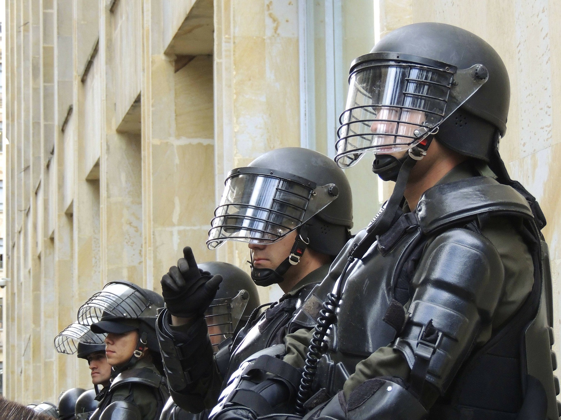
Essential capabilities for efficient, safe, and accountable operations:
Faster Response, Smarter Coordination: know who’s available and where assets are—so you can deploy resources faster and more effectively.
Improved Safety and Accountability: monitor behavior, alerts, and responder movement to reinforce safety protocols and reduce liability.
Unified Public Safety Operations: coordinate police, fire, EMS, and emergency management teams within a single Common Operational Picture.
Maximize Existing GIS Investments: extend the value of your ArcGIS infrastructure with live data and field integration.
Flexible, Secure Deployment Options: deploy CompassCom on-premises, in a secure cloud, or in a mobile tactical environment tailored to your mission.
Faster Response, Smarter Coordination: know who’s available and where assets are—so you can deploy resources faster and more effectively.
Improved Safety and Accountability: monitor behavior, alerts, and responder movement to reinforce safety protocols and reduce liability.
Unified Public Safety Operations: coordinate police, fire, EMS, and emergency management teams within a single Common Operational Picture.
Maximize Existing GIS Investments: extend the value of your ArcGIS infrastructure with live data and field integration.
Flexible, Secure Deployment Options: deploy CompassCom on-premises, in a secure cloud, or in a mobile tactical environment tailored to your mission.
