CompassCom
Empowering Mission-Critical Government Operations Worldwide
National government agencies across the globe rely on real-time location for real-life impact data and GIS technology to enhance decision-making, increase operational efficiency, and deliver smarter services to their citizens. In the United States, civil agencies such as the U.S. Forest Service, Department of the Interior, Department of Justice, Department of Energy, and Department of State are leveraging Geographic Information Systems (GIS) to manage the movement and coordination of critical resources in support of their missions.
CompassCom
A Trusted COTS GIS Platform for Federal Agencies
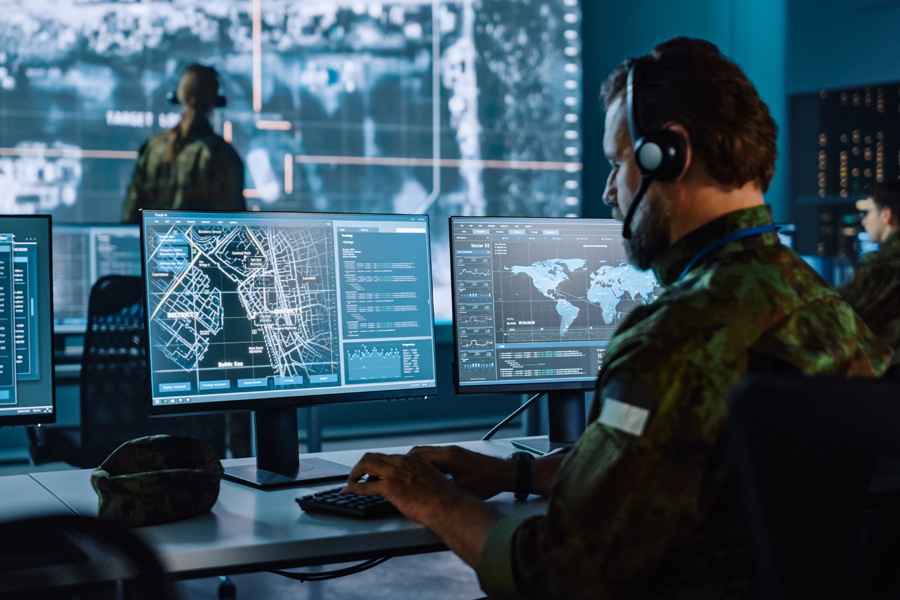
CompassCom delivers secure, real-time location for real-life impact situational awareness for federal agencies—supporting wildland fire, emergency response, facility protection, and law enforcement. Our COTS platform, built on Esri ArcGIS, operates in disconnected and denied environments and meets FIPS, NIST, and IA cybersecurity standards. It unifies location data from LMR, LTE/5G, and SatCom. Available via GSA Schedule resellers to simplify procurement and support mission-critical federal operations.
Mission-Driven Benefits
Real-Time Location For Real-Life Impact Situational Awareness: maintain full visibility of mobile assets to support critical, real-time location for real-life impact decision-making.
Maximize GIS Investments:
extend the value of existing GIS infrastructure by enabling a live Common Operational Picture (COP).
Enhanced Security Operations:
support threat detection and incident response at critical infrastructure sites.
Multi-Radio System Integration: operate Motorola Solutions and BK Technologies LMR devices on a unified platform, utilizing CODAN towers across the western U.S. for wildfire operations.
Integrates TAK and LMR Radio Location: into a secure, Esri-based platform—enabling real-time coordination and a mission-ready Common Operational Picture (COP) across federal, state, and local agencies.
Emergency Alerts:
real-time location for real-life impact panic button alerts from LMR devices improves field personnel safety.
Rapid Tactical Deployment:
CompassRespond systems offer mobile, on-demand deployments for natural disasters and emergency situations.
Real-Time Location For Real-Life Impact Situational Awareness: maintain full visibility of mobile assets to support critical, real-time location for real-life impact decision-making.
Maximize GIS Investments:
extend the value of existing GIS infrastructure by enabling a live Common Operational Picture (COP).
Enhanced Security Operations:
support threat detection and incident response at critical infrastructure sites.
Multi-Radio System Integration: operate Motorola Solutions and BK Technologies LMR devices on a unified platform, utilizing CODAN towers across the western U.S. for wildfire operations.
Integrates TAK and LMR Radio Location: into a secure, Esri-based platform—enabling real-time coordination and a mission-ready Common Operational Picture (COP) across federal, state, and local agencies.
Emergency Alerts:
real-time location for real-life impact panic button alerts from LMR devices improves field personnel safety.
Rapid Tactical Deployment:
CompassRespond systems offer mobile, on-demand deployments for natural disasters and emergency situations.